


Peak District Food Festival returns to Tideswell in May Visitors to Wheeldon Trees can visit…
The Peak District Landscape
The Peak District landscape has been shaped by both natural and human influences. Typically much of the Peak District would have been wooded, but by clearing the land for farming, our ancestors created a rich historical landscape and a diversity of habitats.
The Peak District lies on three main rock types and it is the rocks underneath the surface that determine the type of landscape seen today.
The White Peak
A landscape of rolling farmland and steep-sided dales, the White Peak lies on a rock called limestone. This sedimentary rock was deposited around 350 million years ago when the land lay under a warm tropical sea. The fossilised remains of the millions of sea creatures that form the limestone, can be seen in the rocks of the drystone walls crossing the fields on the limestone plateau.
The steep-sided dales cutting the limestone plateau, contain ancient woodland and many wild flowers. Water dissolves the rock, forming underground streams and caves. Where streams still run on the surface, dippers and other water life can be seen.
The Dark Peak
This is a landscape of contrast between the high gritstone moorland and the broad flat shale valleys. These are also sedimentary rocks and were formed from deposits of sand (gritstone) and mud (shale) as the Peak District area became the estuary of a vast river around 280 million years ago.
The moorland area is very high (over 300 metres above sea level) and much is covered by a thick layer of peat. The soil is acid and only a few plants grow (heather, bilberry, cottongrass). Much of the moor is managed for red grouse and for sheep farming. These two activities prevent woodland regeneration. However, areas of ancient oak woodland still survive below the edges and in steep sided cloughs.
The shale valleys have milder climates and contain the best farmland and many of the settlements and transport routes. Many of the valleys have also been used to form reservoirs.
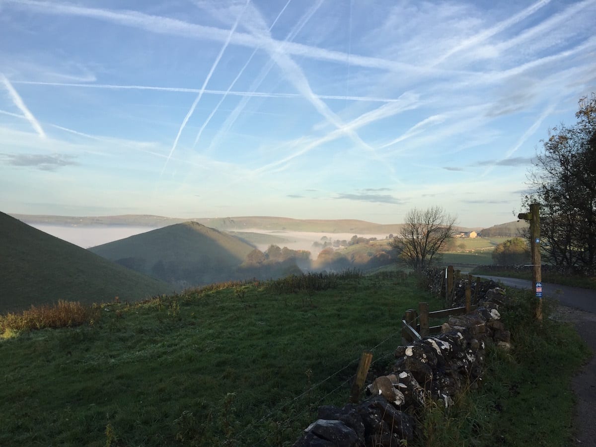
Look out beyond Sheldon Cottage (weather permitting !) and beyond the limestone ‘peaks’ of Parkhouse and Chrome Hills you can see gritstone moorlands towards Axe Edge and beyond.
Wheeldon Trees Cottages lies at the northern end of the White Peak.
Alternatively you can email stay@wheeldontreescottages.com for more details or to book.
Related Posts